USGS Keweenaw Peninsula Topo Map
Size:
- GovernmentPeak
- KeweenawBayNE
- SouthRange
- TenmilePoint
- OntonagonNorth
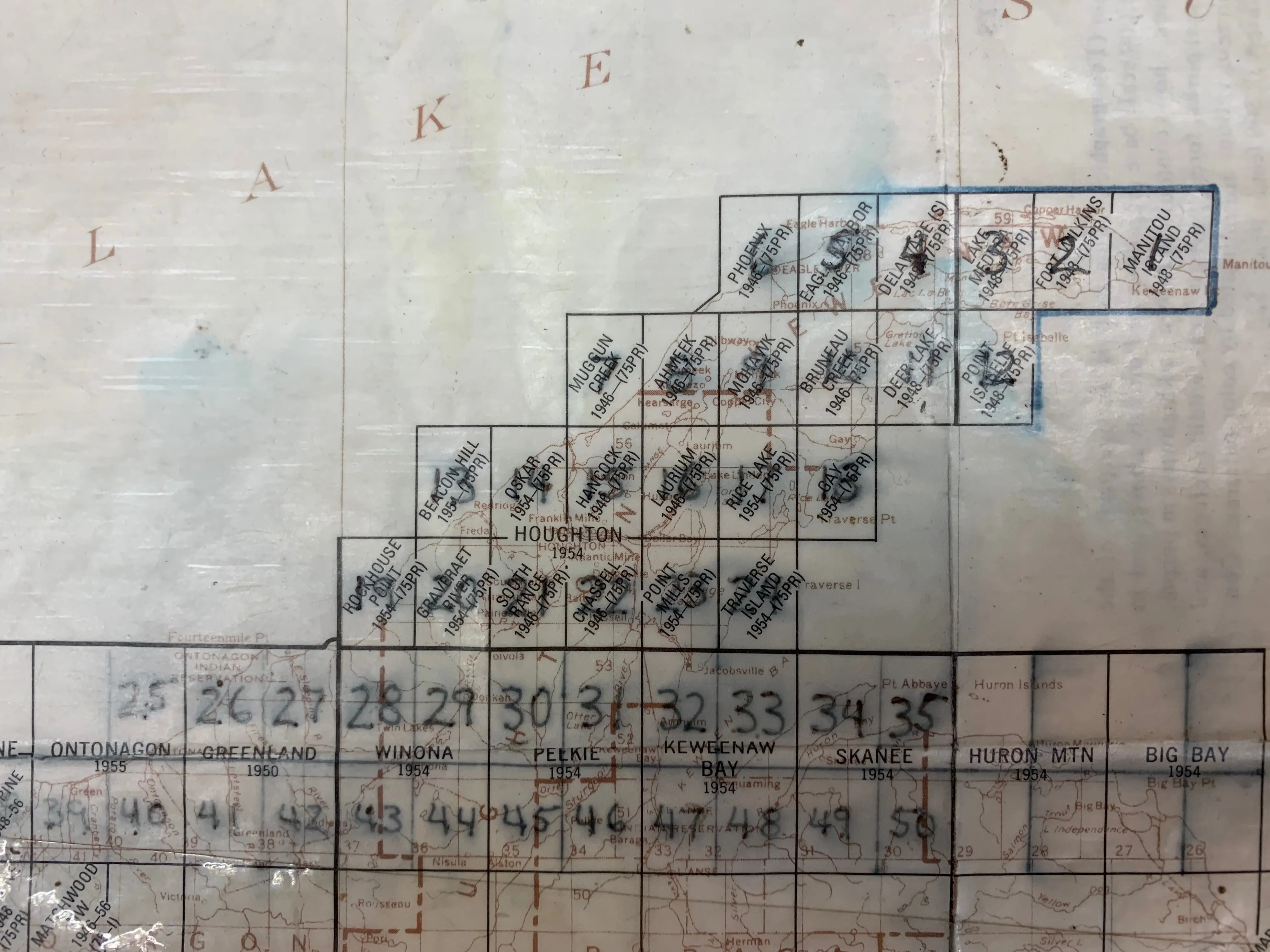
- MuggunCreek
- PointIsabelle
- BeaconHill
- RiceLake
- RockhousePoint
- GraveraetRiver
- PointMills
- Traverseisland
- Donken
- OtterLake
- PortageEntry
- FourCorners
- Nisula
- Lanse
- Firesteel
- Greenland
- Green
- LakeMedora
- Gay
- BearTown
- Laurium
- EagleHarbor
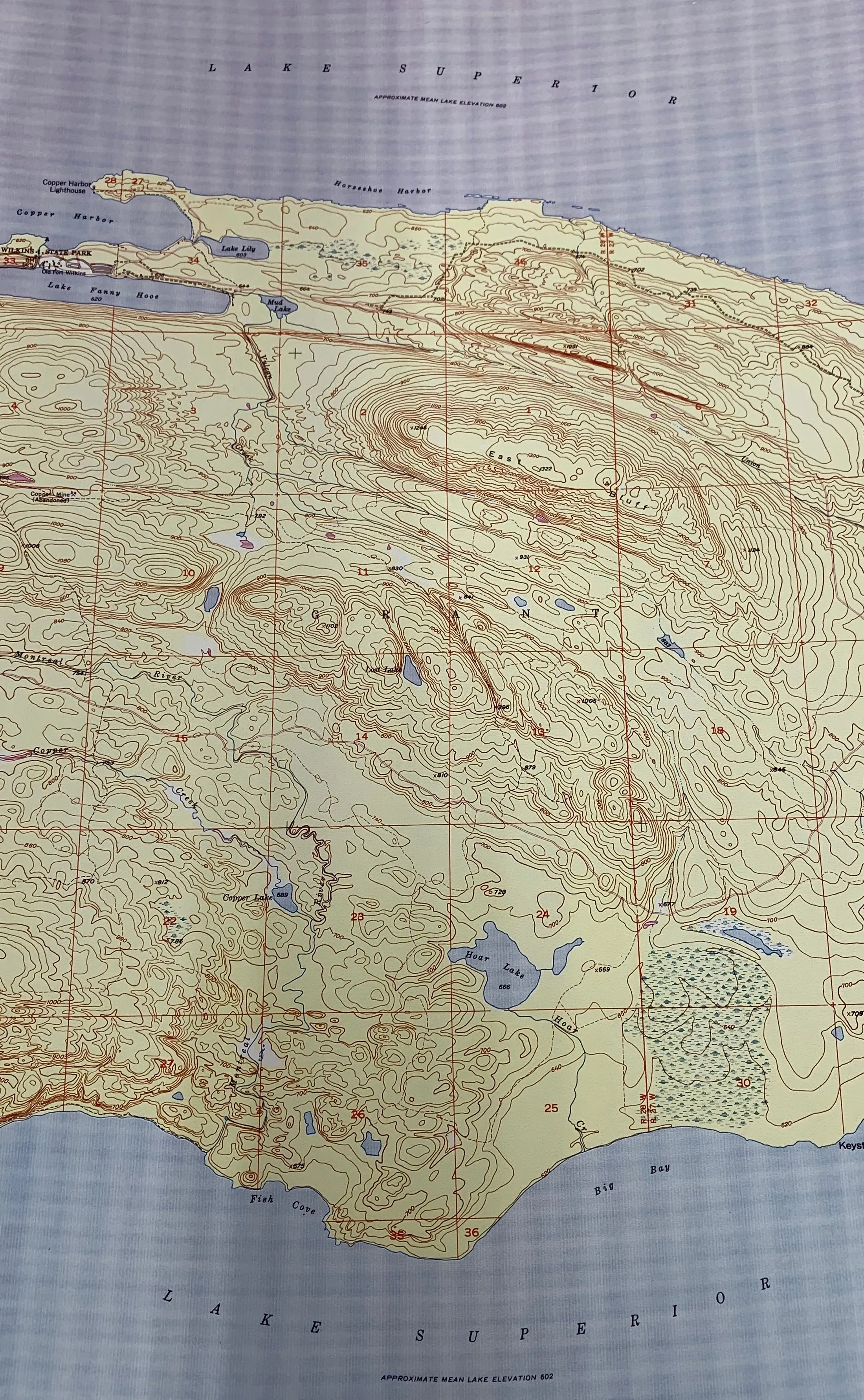
- FortWilkins
- Ahmeek
- ManitouIsland
- Delaware
- Mohawk
- BruneauCreek
- Phoenix
- Pelkie
- OntonagonSouth
- Chassell
- PineLake
- Hancock
- VistaFalls
- WinonaNorth
- WinonaSouth
- WhitePine
Please select combo product attributes
The combo subtotal is $,SAVE$


 - Coral 3-tone")